Government of Odisha

Odisha Drone Mission

Responsible drones for Odisha public services.

  • Public-service mission
  • Safety and compliance first
  • Accessible bilingual portal
Public-service workflowDrone-enabled mapping connects field evidence, expert review and service delivery.
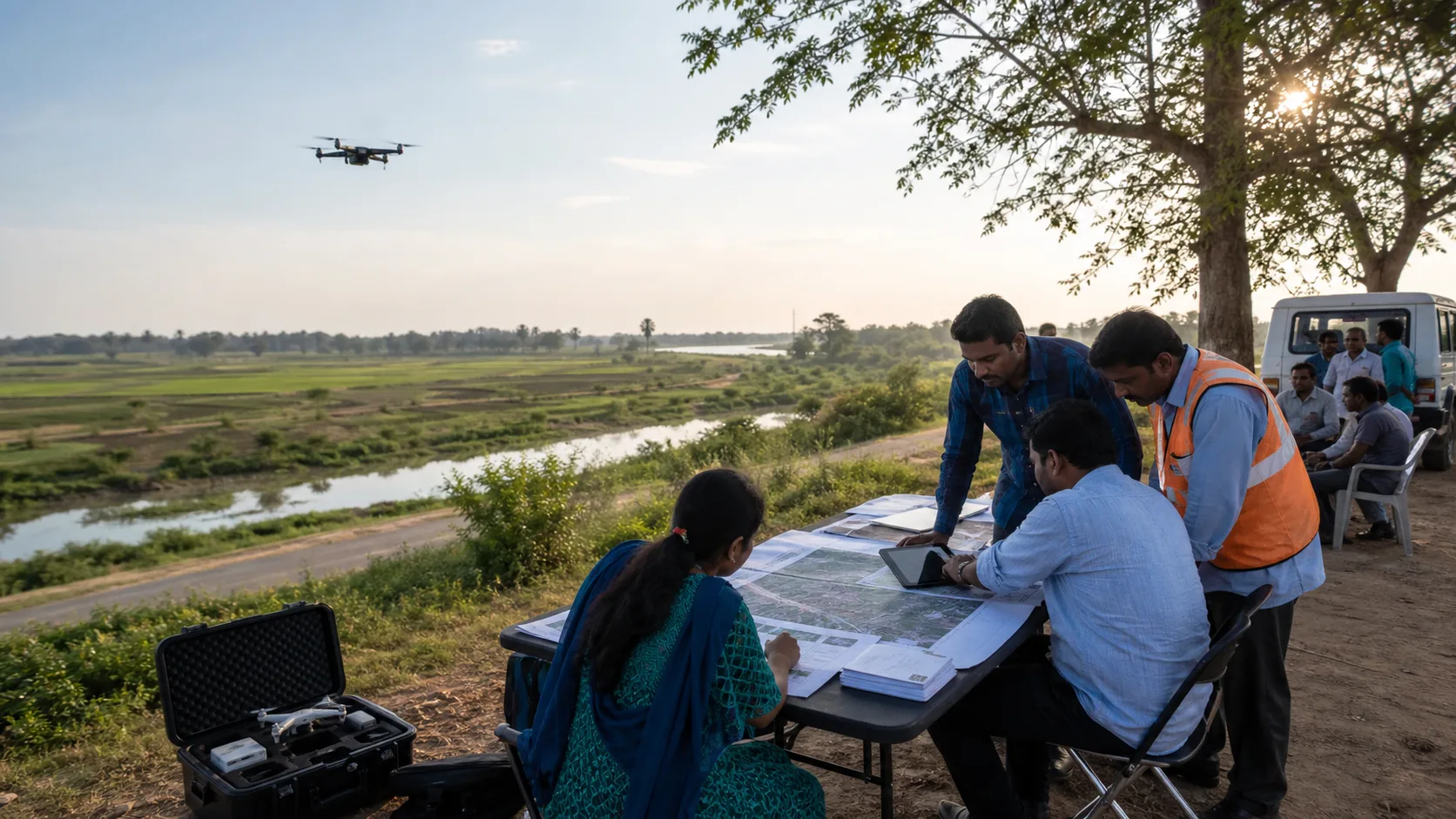
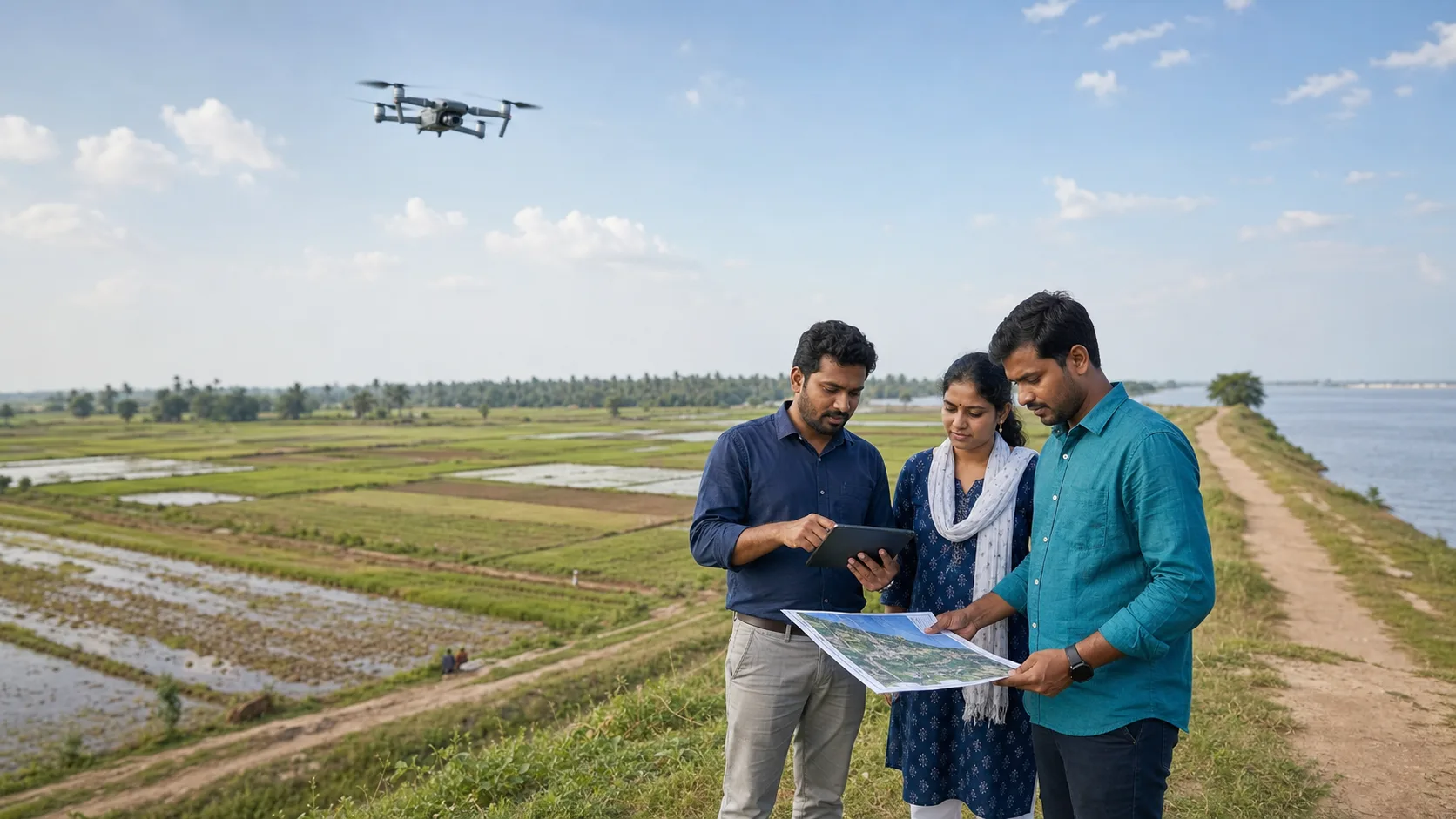
Field team using a map and tablet while a drone flies over agricultural land and a waterway.

Drone-supported field evidence

Public decision context

Field evidence, mapping and service coordination across priority public-service sectors.

Mission statement

Vision and mission

The mission combines drone technology, training and public-service workflows to strengthen resilience, livelihoods and governance outcomes across Odisha.

Vision

Drone Research and Development Centre (DRDC) will enhance the future of use of Drone in India as well as it will strive to enhance the future of the youth with unprecedented standards in interactive teaching, practical training, production in the field of unmanned systems technology. We will continue on our endeavours to make a Drone Hub in India.

Mission

  • To impart excellence in Drone technology.
  • To produce the latest drones integrating AI.
  • To produce the most competent drone pilots.
  • To set up "Odisha Drone Academy" the best Drone training institute in the world.
Read full mission statement

Strategic framework

Five mission pillars

A coordinated framework for building capability, demand, regulation, research and public-service delivery at mission scale.

View ecosystem detail

Drone manufacturing cluster

Reserve a future policy area for manufacturing capability, common facilities, testing support and local supply-chain readiness.

Startups and local demand

Use approved public-service problem statements to help startups, MSMEs and service providers respond to Odisha needs.

Capacity building and employment

Create a skills pipeline for remote pilots, maintainers, GIS reviewers and public-service drone operations.

Regulatory framework and support

Build a safety-first operating environment with approval workflows, SOPs, public awareness and regulatory coordination.

Research and development

Support responsible research around anti-drone safety, UAV, eVTOL, BVLOS and geospatial methods where lawful and approved.

Priority drone applications

Drone service sectors

View all applications

Agriculture

Crop observation and advisory support

Helps field teams prioritise visits and advice after weather, pest or irrigation stress.

Safety cue: DGCA/Digital Sky compliance

Read sector detail

Disaster response

Cyclone and flood assessment

Supports faster situational awareness for blocked routes, embankments and affected areas.

Safety cue: Do not interfere with rescue aircraft

Read sector detail

Healthcare logistics

Time-sensitive public-health logistics

Explores approved delivery models for difficult-to-reach locations without exposing patient data.

Safety cue: Payload safety

Read sector detail

Infrastructure inspection

Roads, bridges and asset checks

Gives engineers safer visual evidence for hard-to-reach public assets.

Safety cue: Traffic control

Read sector detail

Land and geospatial mapping

Authorised survey evidence

May support transparent, legally reviewed land-record and geospatial workflows.

Safety cue: Airspace permissions

Read sector detail

Forest and environmental monitoring

Forest, wildfire and coastal observation

Helps field officers assess environmental risks while respecting wildlife and community privacy.

Safety cue: Wildfire airspace coordination

Read sector detail

Citizen impact journey

Challenge to drone use

A structured pathway from public need to field evidence and accountable action.

  1. 1

    Public challenge identified

    A department records the public-service question, affected communities and accountable owner.

  2. 2

    Safety and feasibility reviewed

    Airspace, privacy, data, environmental and operational risks are checked before field operations.

  3. 3

    Field workflow conducted

    Authorised teams run the workflow with human oversight and clear operating conditions.

  4. 4

    Results measured and published

    Evidence, review dates and lessons are published through the appropriate public channels.

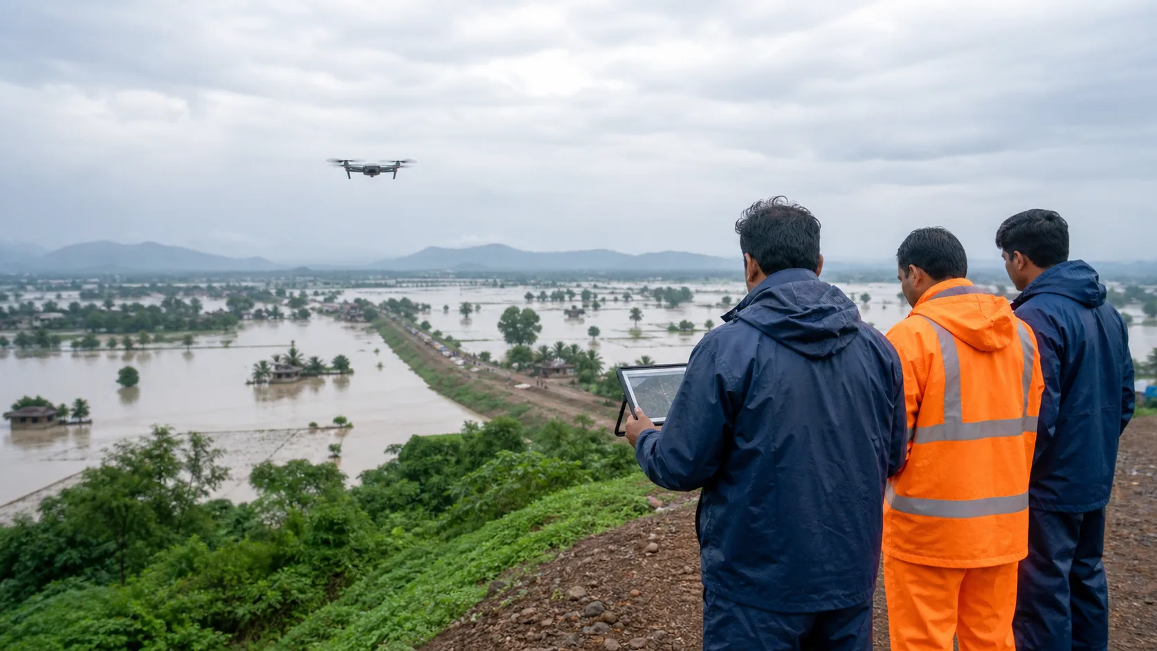
Field team observing a flooded landscape from high ground while a drone supports disaster assessment.

Disaster resilience

Disaster response assessment

Flood mapping, route review and embankment evidence for field teams.

Public-service impact storytelling

What drones help officials see

Cyclone or flood assessment

Public problem
Roads, embankments and shelters may be difficult to inspect safely after severe weather.
Drone-enabled evidence
Authorised imagery can support a faster first view of damage and access constraints.
Public benefit
Emergency teams can prioritise response using validated evidence.

Crop observation

Public problem
Farmers and extension teams may need field evidence after pest, rain or irrigation stress.
Drone-enabled evidence
Approved aerial observation can help specialists compare affected areas.
Public benefit
Advice can be better targeted after human review.

Infrastructure inspection

Public problem
Some bridges, towers and embankments are hard or unsafe to inspect from the ground.
Drone-enabled evidence
Drone imagery may provide inspection records for qualified engineers.
Public benefit
Maintenance decisions can be documented with clearer visual evidence.

Implementation pathway

From assessment to ecosystem activation

Open project directory
01

Demand and opportunity assessment

Map department demand, public-service value, constraints, budget outlook and operational readiness before choosing pilots.

02

Value-chain and hub blueprint

Define the end-to-end ecosystem: operators, manufacturers, data reviewers, training partners, suppliers and standards.

03

Infrastructure and policy alignment

Plan testing, labs, certification support, logistics, storage and approved regulatory routes for safe execution.

04

Activation and partnerships

Onboard participants through approved processes, publish challenge statements and track outcomes with review metadata.

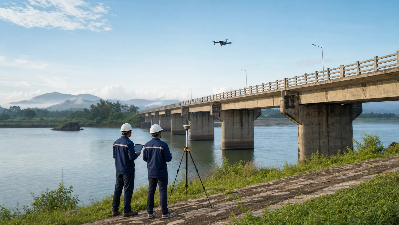
Engineers beside a bridge and river using a drone-supported workflow for public infrastructure inspection.

Infrastructure

Infrastructure inspection evidence

Bridge, embankment and public-asset inspection with engineer oversight.

Odisha district explorer

District service view

Explore district-level context for drone-enabled public-service planning.

30 districts available

Vector map

Odisha district boundary map

Odisha district boundary mapFull Odisha district boundary map. Select a district from the list or map to open its district view.

Showing the complete Odisha district boundary map.

Source: DataMeet Indian district boundaries (MIT License). Boundaries are for public-service visualization.

Central
4
Western
8
Coastal
9
Northern
4
Southern
5
District field team reviewing maps and tablet data near farmland while a drone supports geospatial review.

Geospatial review

District geospatial review

Map verification, district planning and community-context review.

Safety, privacy and responsible use

Public trust is a requirement, not a feature

Every workflow must follow aviation safety, privacy-by-design, data minimisation, human review, complaint handling and transparent publication rules.

Review safeguards

Aviation safety

Airspace, weather and emergency coordination before operations.

Privacy and minimisation

No unnecessary personal data or household-level publication.

Human oversight

Officials and domain specialists validate outputs before action.

Transparency and review

Source status, review dates and complaint routes stay visible.

Youth, training and innovation opportunities

Participation pathways

Students, operators, startups, MSMEs and researchers can follow clear participation routes for skills, innovation and responsible service delivery.

Explore participation

Students and job seekers

Training pathways and public-sector career awareness.

Startups and MSMEs

Challenge statements and procurement updates through official channels.

Operators and pilots

Safety-first guidance and approved participation routes.

Researchers

Responsible innovation with source, review and privacy controls.

Government resources

Resources and guidance

Open resource directory
Guideline

GIGW 3.0

Guidance for accessible, reliable and citizen-focused government websites and apps.

Source
Guidelines for Indian Government Websites and Apps
Format
HTML/PDF
Open official source
Accessibility

GIGW accessibility guidance

Accessibility requirements aligned with WCAG success criteria for public digital services.

Source
Guidelines for Indian Government Websites and Apps
Format
HTML
Open official source
Regulatory portal

Digital Sky

Official DGCA entry point for drone-related regulatory workflows and requirements.

Source
Digital Sky, Directorate General of Civil Aviation
Format
External portal
Open official source

Citizen idea call-to-action

Share a responsible drone idea

Share suggestions, service needs and feedback through the official contact channel.